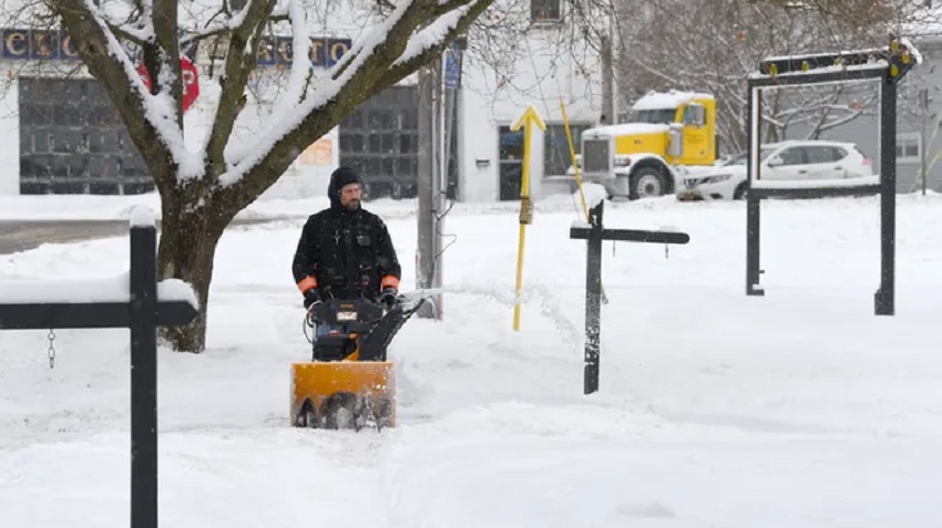
Ogden, UT – Several Utah communities, including Tooele, Park City, and areas along the Wasatch Front, experienced a white Christmas on Wednesday, with lingering snow and rain showers continuing to affect the state into the weekend. The storm, which delivered a welcome dose of precipitation after a dry stretch, has prompted the National Weather Service to issue a series of winter storm warnings and weather advisories that are now expected to last through Saturday.
According to federal meteorologists, parts of the Wasatch Mountains and other nearby mountain ranges could receive another 18 inches of snow or more in the coming days, with some areas potentially accumulating up to 30 inches. This added snow could help replenish snowpacks in the mountains, which are vital for water supply throughout the year.
While not every part of Utah saw a white Christmas, the storm’s moisture was especially appreciated following an extended dry period. Pleasant Grove led the valley communities with 0.58 inches of precipitation, while Kaysville recorded 0.43 inches. Salt Lake City received 0.29 inches, coming close to its normal precipitation for December with only a few days left in the month.
KSL meteorologist Matt Johnson explained that the storm’s warmth prevented snow from accumulating in some valley locations, as models had predicted. However, the storm had a more significant impact by pushing out the high-pressure ridge that had been lingering over the state, making way for more precipitation in the coming days.
The weather forecast calls for waves of rain and snow showers to continue across Utah through the weekend. While some of these showers are expected to be light, heavy bands of precipitation are also possible at times. The storm’s unpredictable nature makes exact snowfall predictions challenging, but the National Weather Service has emphasized that certain areas, including the Wasatch, West Uinta, and Wasatch Plateau/Book Cliffs mountains, are at a high risk of significant snow accumulation.
Areas such as the Upper Cottonwood Canyons, the mountains near Ben Lomond Peak, and the Bear River Range are expected to see snow accumulations in the range of 18 inches or more by Saturday. These areas also have a 20-30% chance of exceeding 30 inches, according to the weather service.
As the storm continues to evolve, Utahns can expect additional snow and rain showers, with the potential for heavy snowfall in the mountains and continued moisture for the valleys. This ongoing winter storm is a timely gift for the state, helping to alleviate drought concerns and contributing to the region’s snowpack, which plays a critical role in the state’s water supply.

